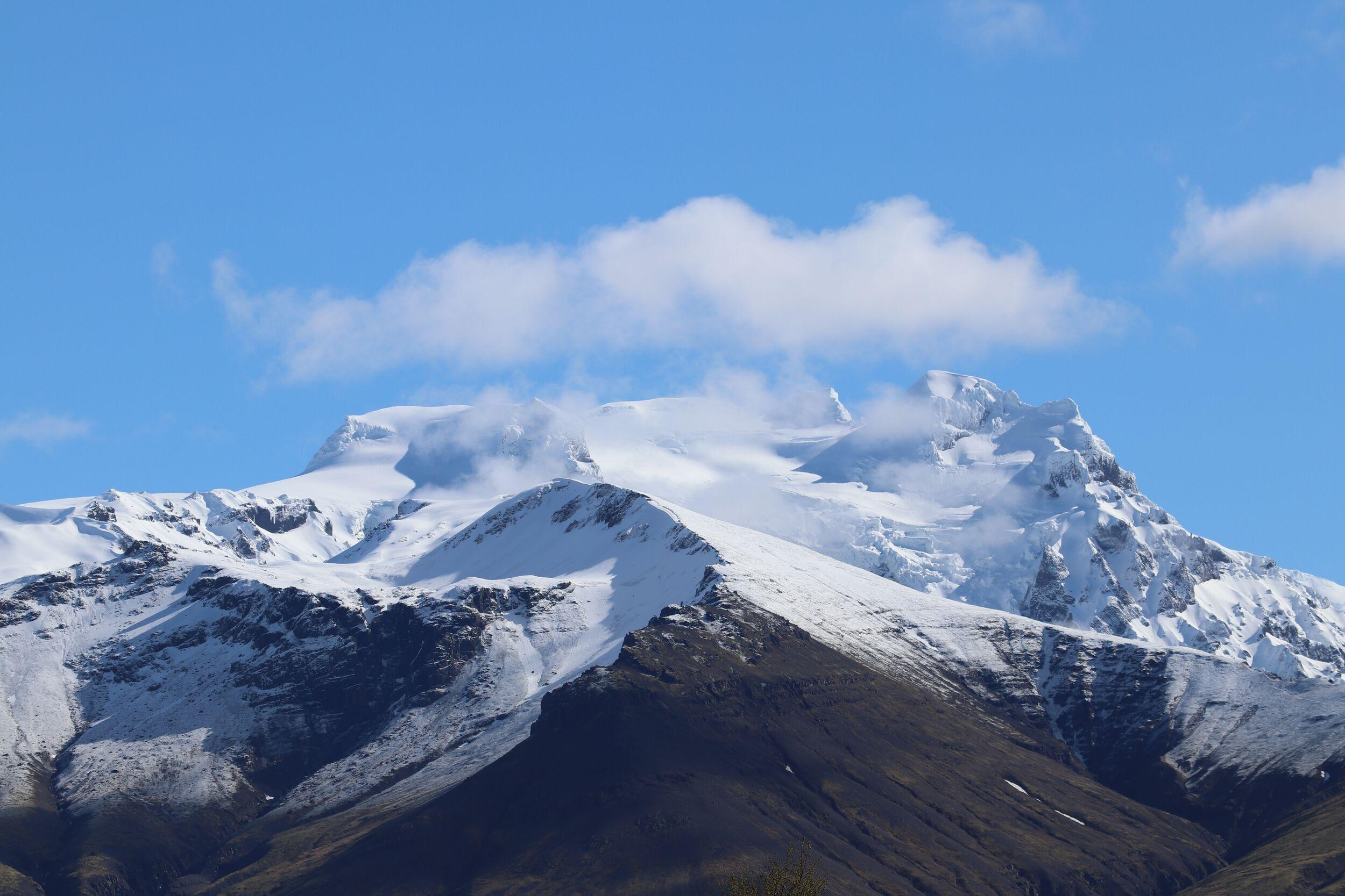
Hrútsfjallstindar is a dramatic mountain range in southeast Iceland and home to some of the highest peaks in Vatnajökull National Park. Rising sharply above glaciers and deep valleys, the range forms part of the southern edge of Vatnajökull, Europe’s largest glacier. Remote, rugged, and visually striking, Hrútsfjallstindar is best known among experienced mountaineers and glacier enthusiasts as one of Iceland’s most rewarding summit hikes.
- GPS Coordinates:
- 64.0867° N, 16.9067° W
- Distance from Reykjavík
- 325 km (200 miles)
- Best time to summit
- Summer
Location & Access
Region: Southeast Iceland
Within: Vatnajökull National Park
Hrútsfjallstindar lies between the Öræfajökull volcanic system and the vast ice cap of Vatnajökull. The mountains are not visible from the Ring Road and require glacier travel to access. Most approaches begin from the southeast, often via multi-day expeditions across glaciated terrain.
Because of the technical nature of the landscape, access is typically undertaken with certified mountain guides.
Why Hrútsfjallstindar is Special
Hrútsfjallstindar includes several prominent peaks, the highest reaching nearly 2,000 metres above sea level. The range stands out for:
- High alpine terrain rarely found elsewhere in Iceland
- Extensive glacier systems surrounding the peaks
- Remote and uncrowded setting within Vatnajökull
- Panoramic summit views over glaciers, volcanoes and the Atlantic coastline
Unlike more accessible Icelandic mountains, Hrútsfjallstindar offers a true expedition environment. Weather, route conditions, and glacier travel all require planning and experience.
Landscape & Geology
The mountains are composed primarily of volcanic rock shaped by thousands of years of glacial erosion. Massive outlet glaciers flow around and between the peaks, carving deep ridges and ice-filled valleys.
The combination of volcanic formations and active glacial movement creates a constantly evolving landscape. Crevasses, icefalls, and snow ridges form part of the terrain, giving the area a distinctly alpine character compared to Iceland’s more commonly visited hiking regions.
On clear days, the views extend toward Öræfajökull, home to Iceland’s highest peak, Hvannadalshnúkur, and across the expansive white plateau of Vatnajökull.
What to Expect When Visiting Hrútsfjallstindar
Hrútsfjallstindar is not a roadside attraction. Visiting typically involves:
- A certified glacier guide
- Use of mountaineering equipment such as crampons and ice axes
- Guided navigation across snow and ice
- Variable weather conditions
Hrútsfjallstindar is an advanced alpine environment. Proper equipment, physical fitness, and experienced leadership are essential.
For those interested in reaching the summit or exploring the area safely, guided expeditions are available during the summer months, depending on the conditions of the glacier and daily weather conditions.
Frequently Asked Questions about Hrútsfjallstindar
No. Summiting Hrútsfjallstindar requires extensive uphill stamina, both physically and mentally. While the hike itself with a certified guide requires no previous technical experience or abilities, and glacier equipment is provided, it is highly recommended that those attempting the summit, have previous experience from long days conquering mountains.
Independent travel is only suitable for highly experienced mountaineers familiar with glacier safety and route finding. Even most experienced locals join guided tours to this summit.
Summit expeditions to Hrútsfjallstindar typically take 12-15 hours but require at least two days in the area due to the preparation meeting the day before and a very early start on summit day.
Related tours
Hrútsfjallstindar Peaks – Vatnajökull Day Hike
Summiting the 1,875m Hrútfjallstindar peaks is a mighty challenge but a highly rewarding one with truly magnificent views.