What is Hellisheiði?
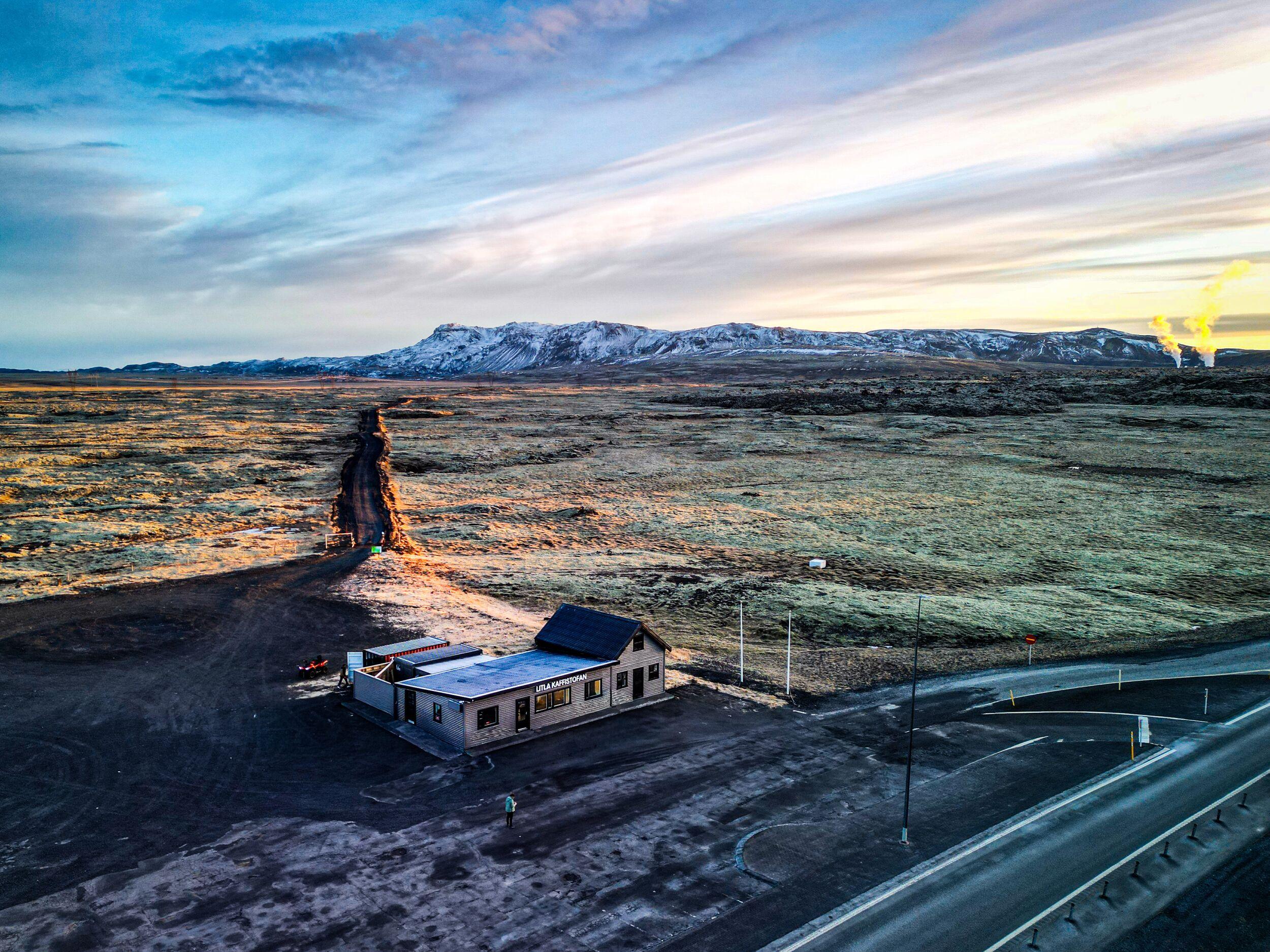
Hellisheiði is a highland plateau situated within the Hengill volcanic system, one of the most active geothermal areas in Iceland. The landscape is shaped by past eruptions, tectonic activity, and ongoing geothermal processes beneath the surface.
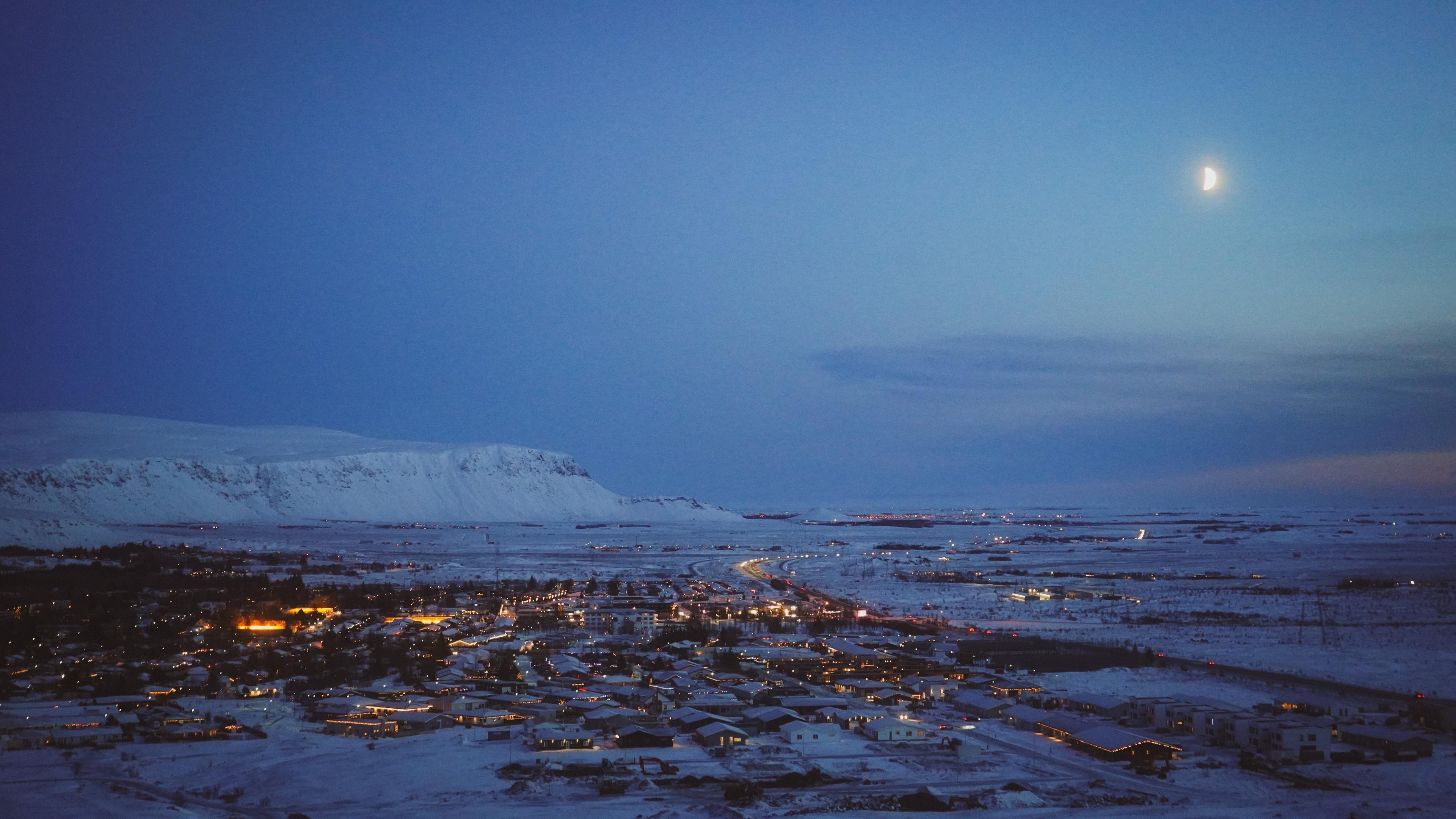
The area is best known for its visible steam vents, lava fields, and geothermal power production, making it a key part of Iceland’s renewable energy infrastructure. Its location on Route 1 (the Ring Road) just outside Reykjavík means it’s usually one of the first breathtaking moments of any road trip in Iceland.
- GSP Coordinates
- 64.02238° N, 21.34486° W
- Distance from Reykjavík (BSÍ)
- 26 km (16 miles)
- Best time to visit
- All year round
Why Visit Hellisheiði?
Hellisheiði offers a striking introduction to Iceland’s volcanic landscapes without leaving the main travel routes.
Here, you can:
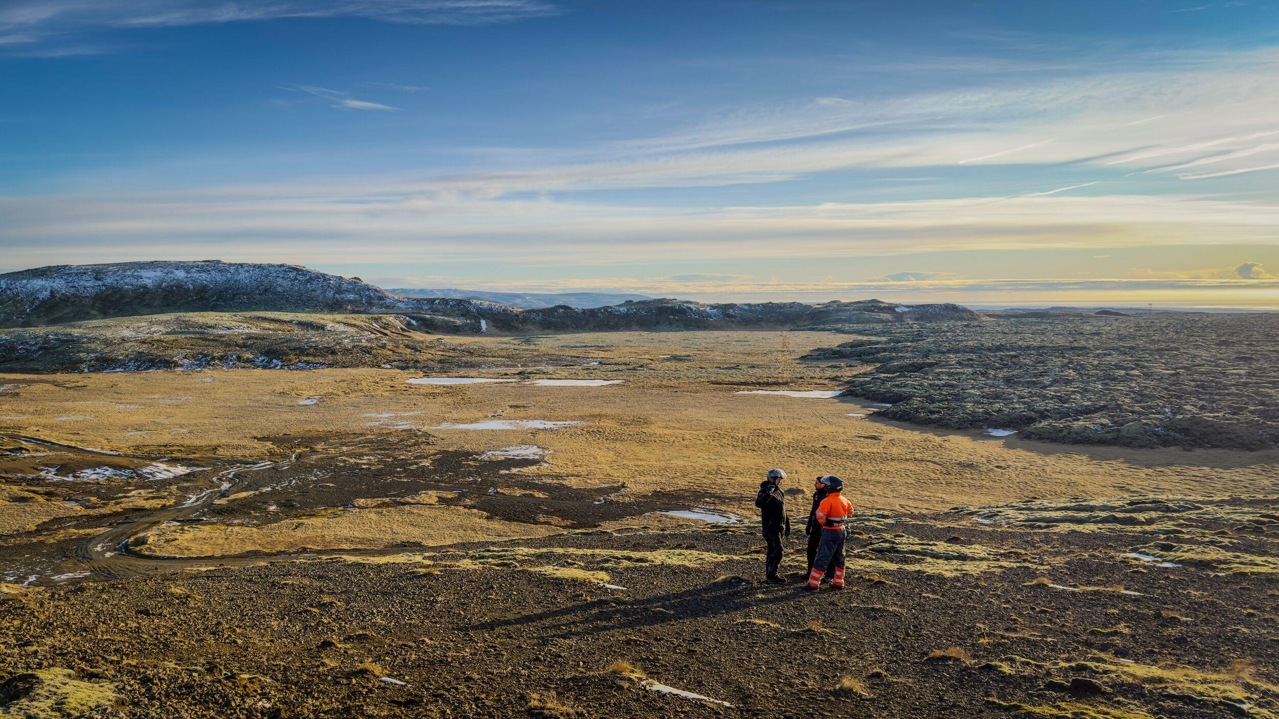
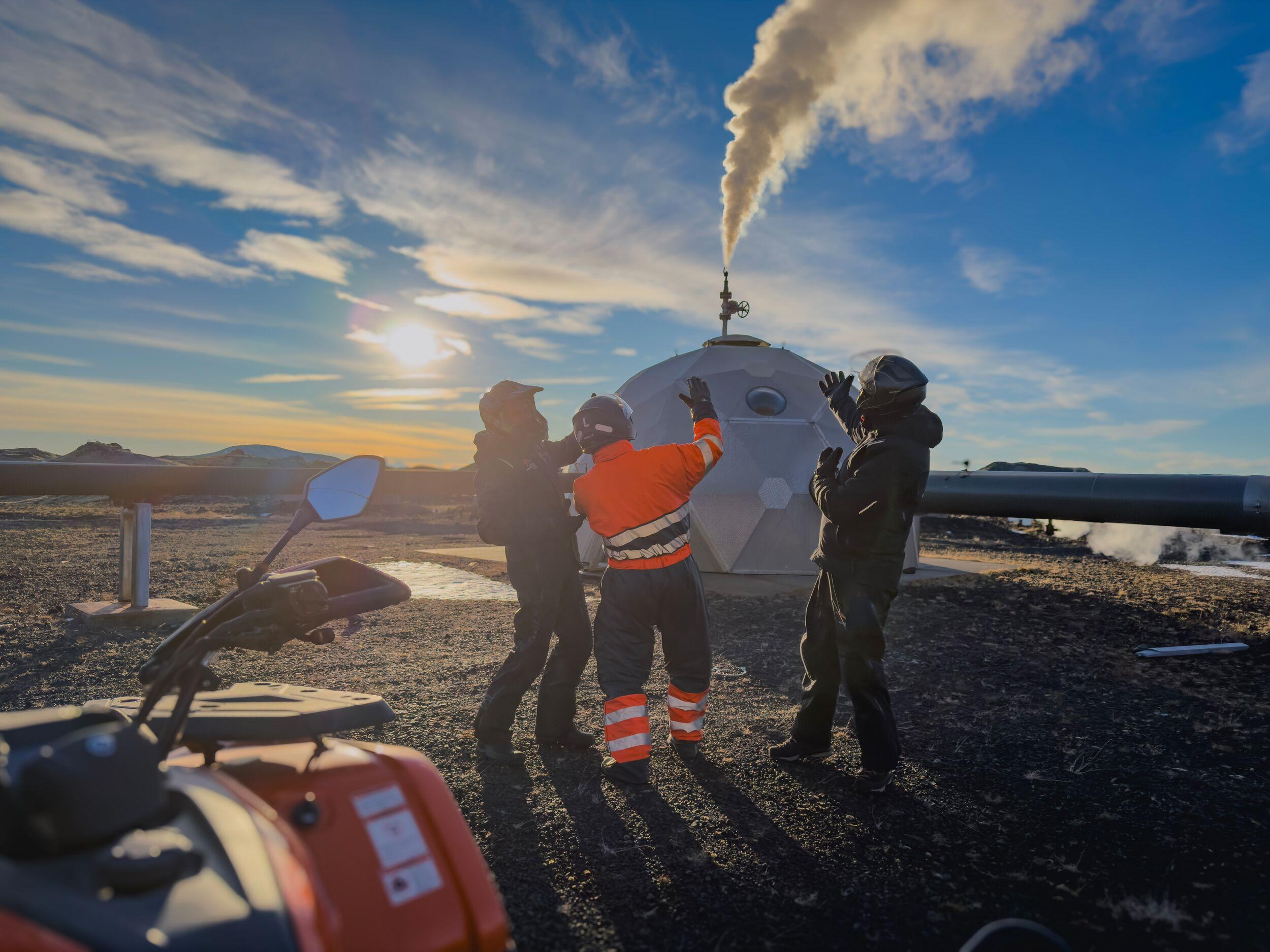
- See geothermal activity with steam rising from the ground
- Drive through vast lava fields and mountain scenery
- Experience the contrast between untouched nature and renewable energy production
- Explore a lesser-visited area just outside Reykjavík
It’s a place where Iceland’s natural forces are visible at every turn.
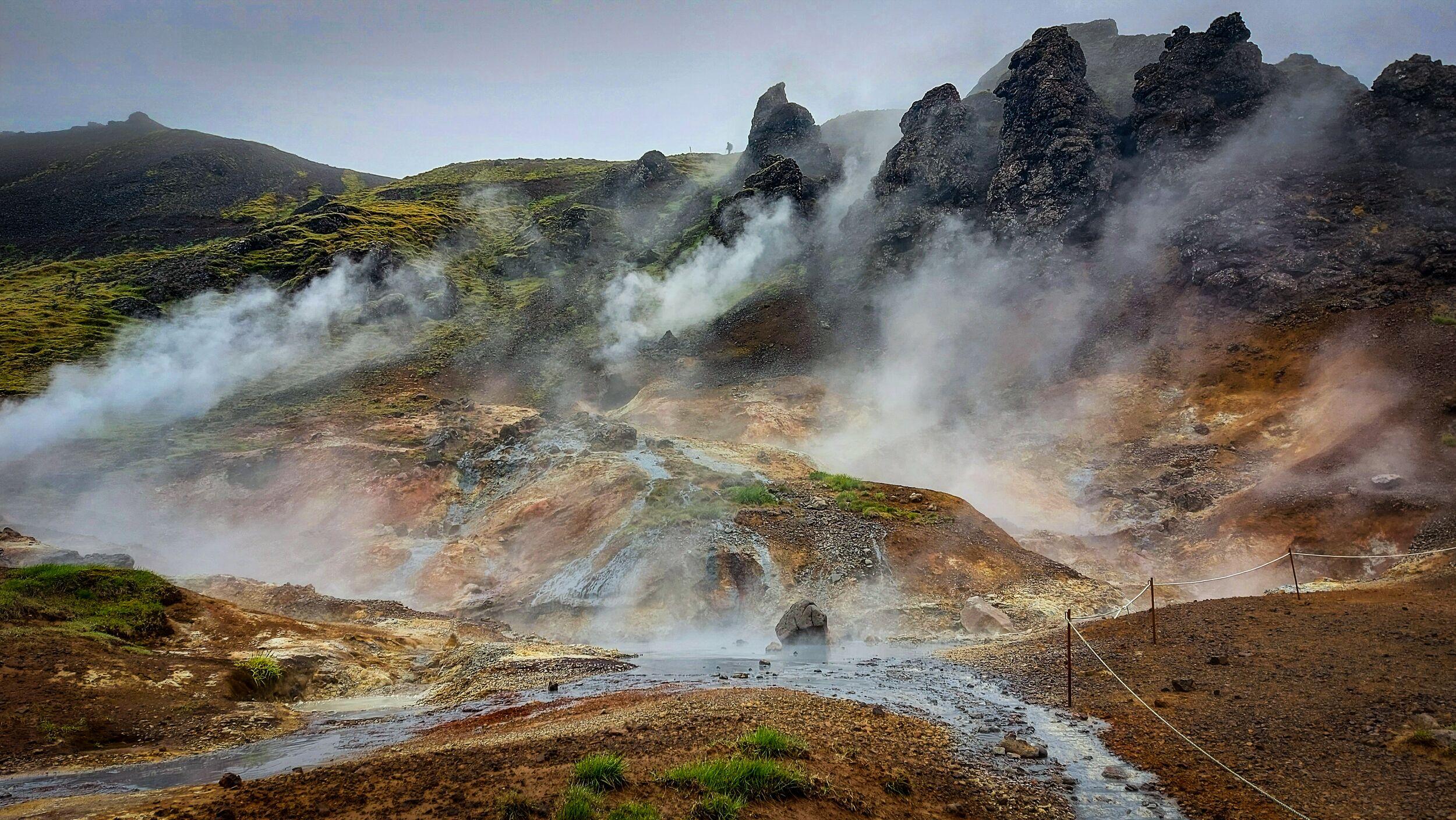
Geothermal Activity & Energy
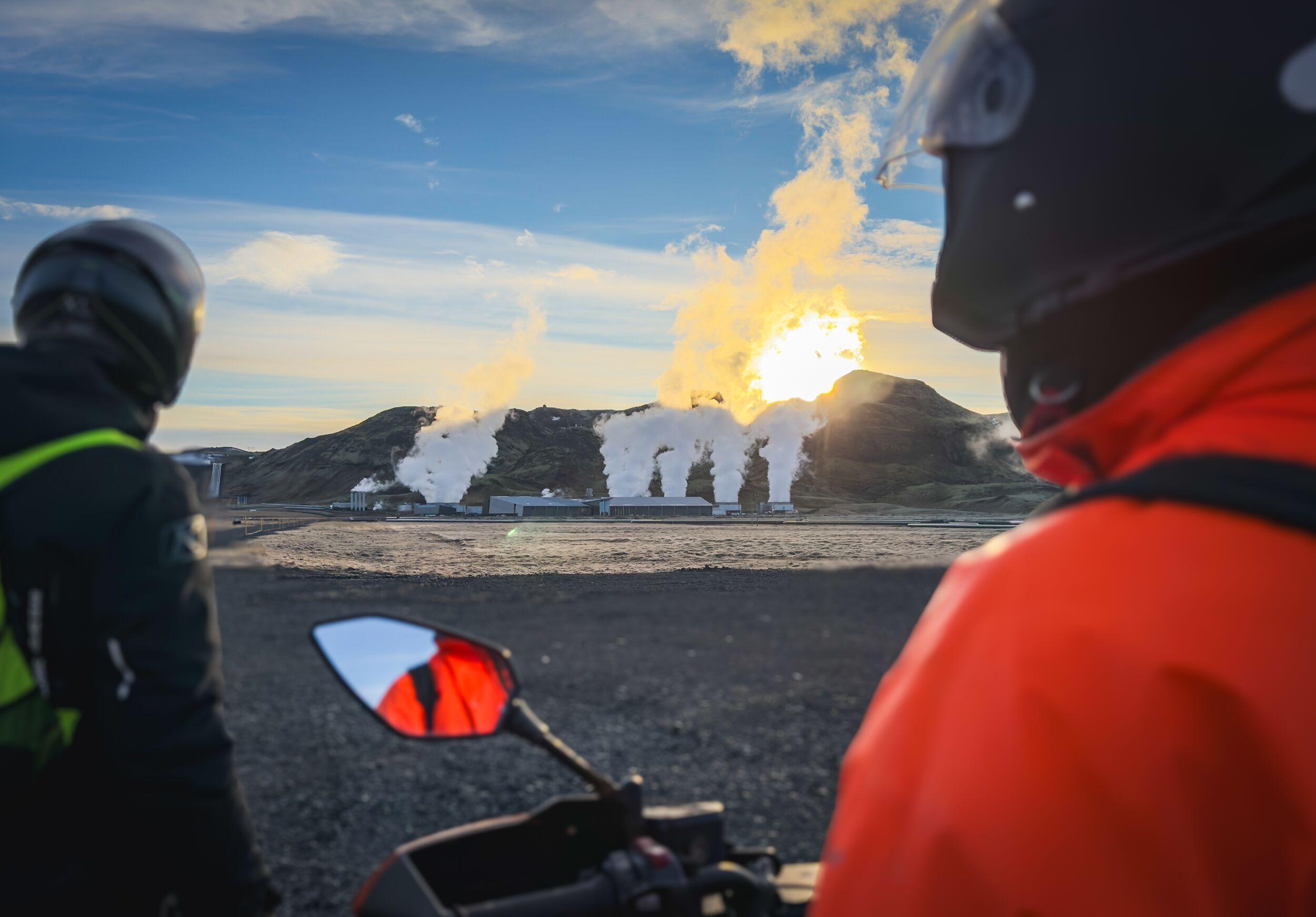
Hellisheiði sits above a powerful geothermal reservoir deep underground. Heat from the earth rises to the surface, creating steam vents, hot springs, and mineral-rich ground.
This energy is harnessed by the nearby Hellisheiði Power Plant, one of the largest geothermal power stations in the world. It supplies both electricity and hot water to Reykjavík and surrounding communities.
The result is a landscape where natural geothermal activity and modern technology exist side by side.
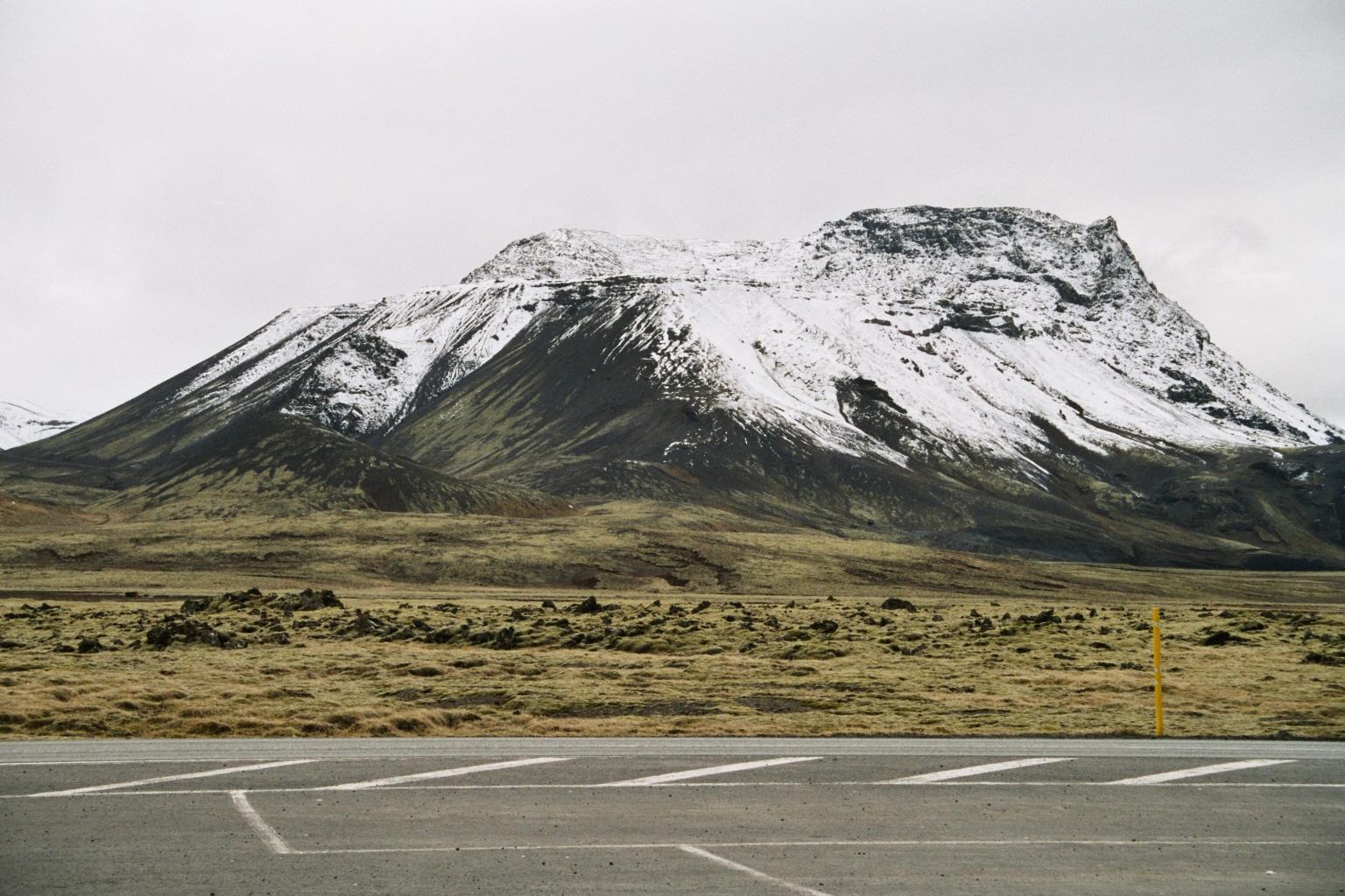
Landscape & Geology
The Hellisheiði plateau is shaped by volcanic eruptions, glaciers, and tectonic movement over thousands of years.
- Lava fields stretch across the plateau
- Moss-covered rocks soften the rugged terrain
- Steam vents and geothermal patches break through the surface
- Mountains like Hengill and Vífilsfell rise nearby
This combination of fire and ice has created a raw, ever-changing landscape that reflects Iceland’s geological origins.
A Historic Mountain Route
Hellisheiði has long been an important route between Reykjavík and southern Iceland. Before modern roads, crossing the plateau could be difficult and unpredictable, especially in harsh weather.
Today, it remains one of the main gateways to the south coast, offering travelers a dramatic introduction to Iceland’s interior landscapes as they leave the capital behind.
If you’re driving over Hellisheiði on your own, make sure to check the road conditions and weather before setting off on your journey. While this is one of the best maintained roads in Iceland, it is still a mountain pass and it does sometimes shut down.
Frequently Asked Questions
Hellisheiði is known as one of the main country roads connecting the south of Iceland to the capital area. It’s also known for its geothermal activity, lava landscapes, and as the location of one of Iceland’s largest geothermal power plants.
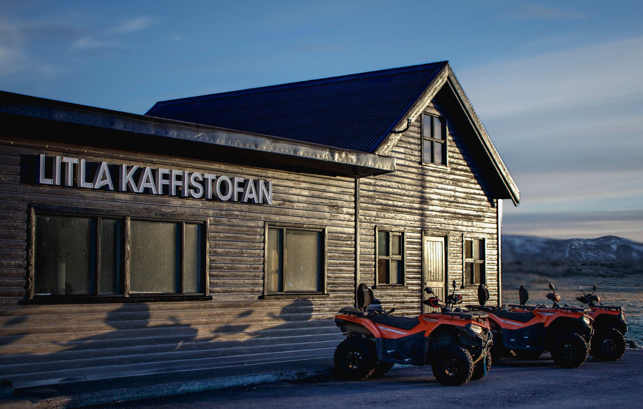
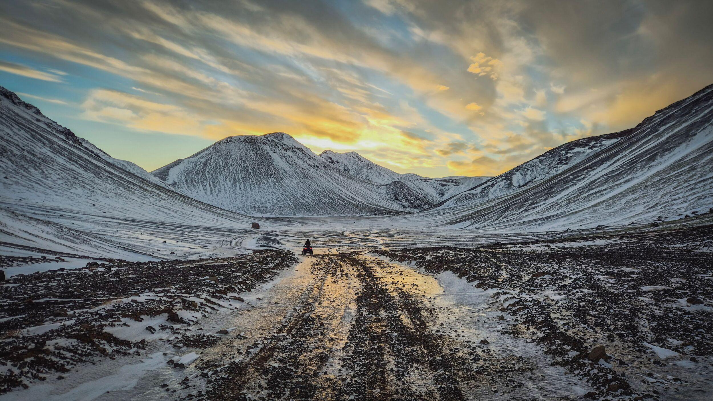
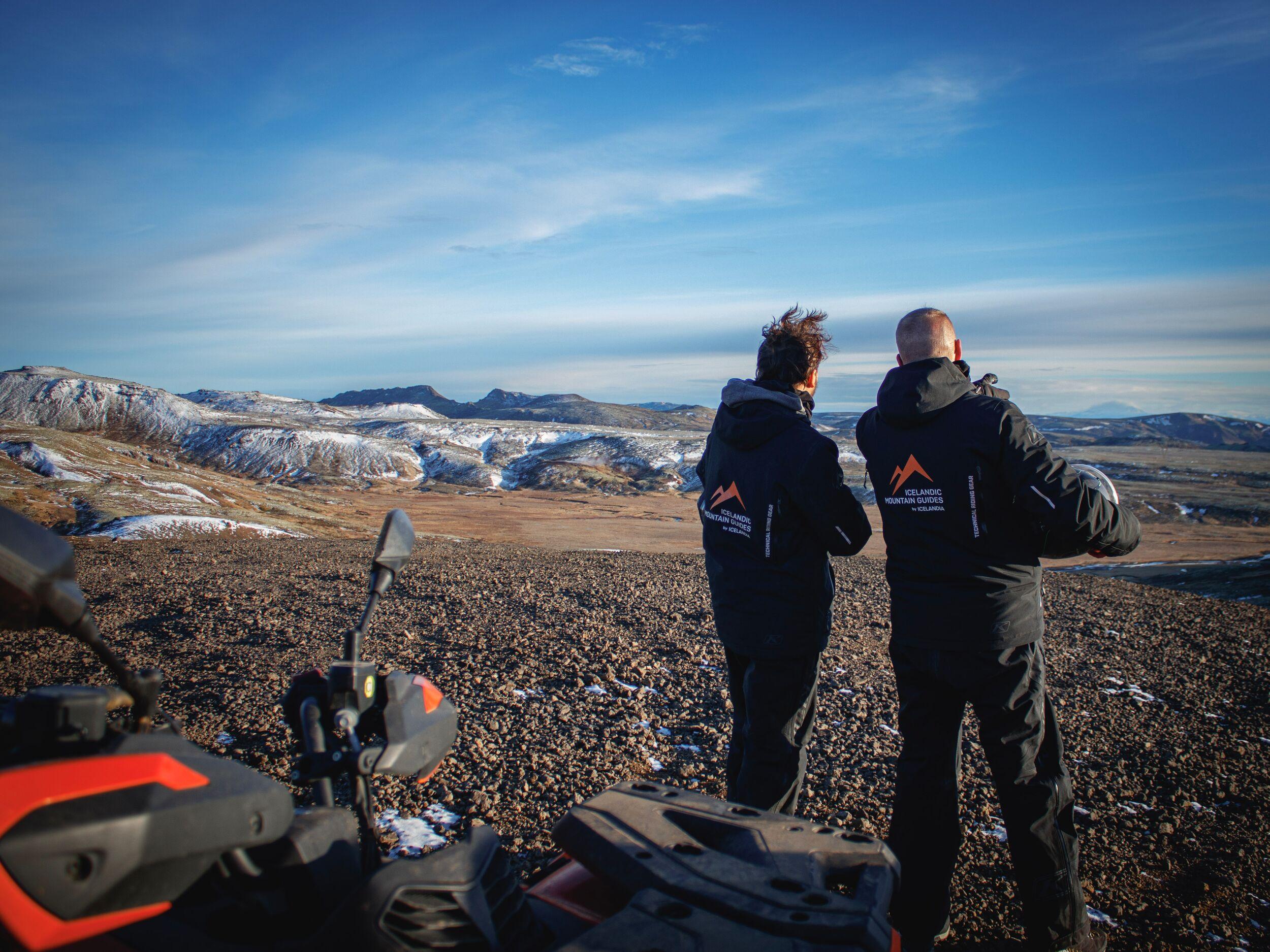
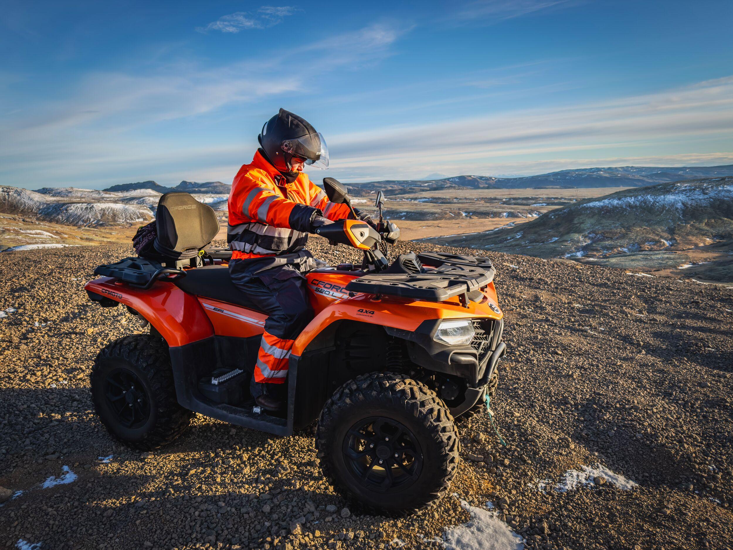
Yes, driving through it offers spectacular views but we highly recommend doing an ATV tour in this area, especially for travelers interested in geothermal landscapes and scenic drives near Reykjavík.
It is located just east of Reykjavík and can be reached in about 30 minutes by car.
Yes, steam vents and geothermal features are visible throughout the area.
Related tours
- Launch Offer
Volcano Valley ATV Tour Near Reykjavík – 2.5 Hours
Just 20 minutes from Reykjavík, take a break from city streets to embrace lava fields and volcanic peaks on this thrilling 2.5-hour ATV adventure.
- Launch Offer
Hengill Geothermal ATV Tour Near Reykjavík – 1.5 Hours
Ride across lava fields, explore Iceland’s most powerful geothermal area, and experience the raw energy of Hengill on this 1.5-hour ATV adventure near Reykjavík
- Launch Offer
Hengill 1.5-Hour ATV Tour with Transfer from Reykjavík
Skip the hassle of driving on Icelandic roads and head straight into Iceland’s rugged landscapes with this ATV tour with transfer from Reykjavík.